Winter weather: Why this year may feel noticeably cooler than recent ones
The coming winter may feel noticeably cooler compared with the past three years, a meteorologist says, with this week’s temperatures bringing a sign of what’s to come.
Niwa’s Ben Noll noted the temperature in Invercargill climbed only as high as 11.9C today – making for the coldest March maximum registered since 2009.
That year happened to feature something scientists say is gradually underway now: the formation of an El Niño climate pattern.
Traditionally, this regime brings the opposite of La Niña, which has contributed to a trio of record-warm winters.
This month, scientists have been watching La Niña’s unusual three-year reign come to an end, with help from a tropical phenomenon called a westerly wind burst, which has effectively pushed it off the stage.
Noll said that, as our climate state shifted toward El Niño, we might not see as much of that abnormal winter warmth in 2023.
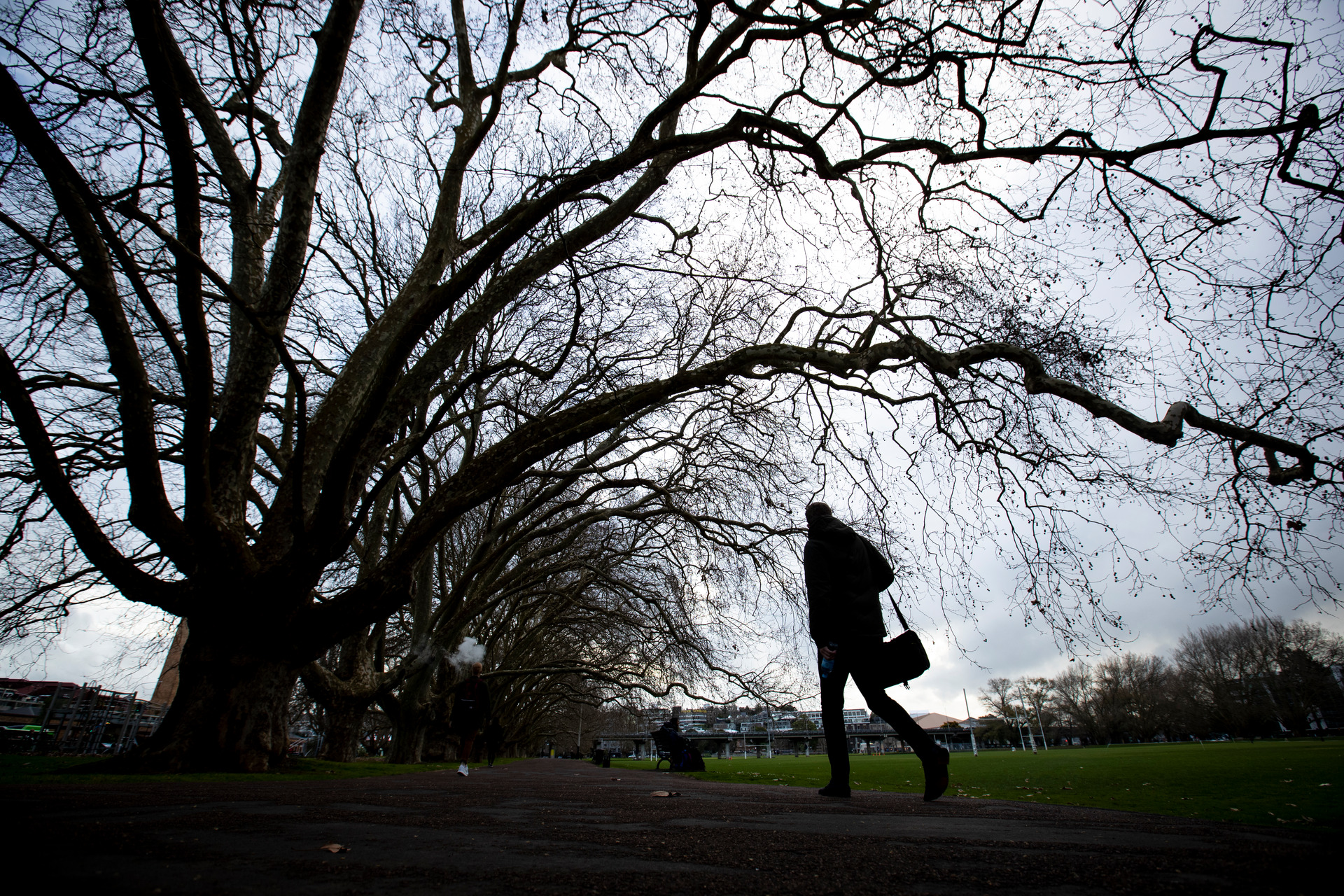
“The tendency may be for more southerly winds like we’re seeing this week,” he said.
“Over the last couple of winters, we saw more of a northerly wind pattern, which certainly isn’t what we’d consider a cold wind direction.
“Running the same southerly air mass we’re seeing this week, but two months from now, we’d expect it to bite much harder – and it may well be that people notice this winter to be noticeably cooler than previous years.”
Noll noted the winters of 2020, 2021 and 2022 had come in at 0.97C, 1.16C and 1.2C above average respectively – and last year’s also happened to be New Zealand’s wettest on record.
The unseasonable weather inevitably spelt disaster for operators of Mt Ruapehu’s skifields, with the early closure of Tūroa and the dismissal of about 130 staff.
But while Ruapehu Alpine Lifts remains in voluntary administration, the company is due to start selling passes for the 2023 season soon, amid hope for better snow-making weather.
“In the last 13 years, only winter 2015 and 2009 had below-average temperatures,” Noll said.
“Surprise, surprise: 2015 was our last winter El Niño. But where does that leave us in 2023?
“The last few winters have had temperature anomalies of more than 1C above average; in an El Niño winter, it’s unlikely it would be that warm.
“Folks may have acclimatised to recent warmer winters to an extent, so if a cooler one comes around this year, it may mean people really notice it.”
But he added it probably wouldn’t compare well with an El Niño winter three or four decades ago, given climate change had effectively shifted the baseline to a warmer state over time.
“Even though we’ve been seeing some southerly outbreaks over March, our seas are still running warm after the marine heatwave that we experienced over summer,” Noll said.
“So yes, this winter might be cooler, but it’s unlikely to be as cold as it would have been if it took place in a colder climate.”
Globally, El Niño comes with much different implications - and scientists say it’s possible that a strong system could even make 2024 the first year that humanity surpasses the symbolic 1.5 climate change threshold.
Whether it will also prove as wild as the last few winters have been – with a slew of disastrous “atmospheric rivers” sweeping into the country – remained to be seen.
“That will be an interesting thing to watch for as we head through winter and toward spring and summer,” Noll said.
“What I would say is that, as atmospheric rivers are more likely to come from the north, if we do have southerly-prevailing winds, that perhaps might reduce the risk a little, relative to last winter.
“But later in the year, things will really depend on how far we’ve progressed to the El Niño side of the spectrum – or how strong it is.
“If we see westerly winds begin ramping up harder, that might mean more of those hot, dry air masses that come over from Australia.”
Niwa is due to release its climate outlook for the April to June period shortly.