Northland weather live updates: Heavy rain and wind overnight sees outages, surface flooding across region
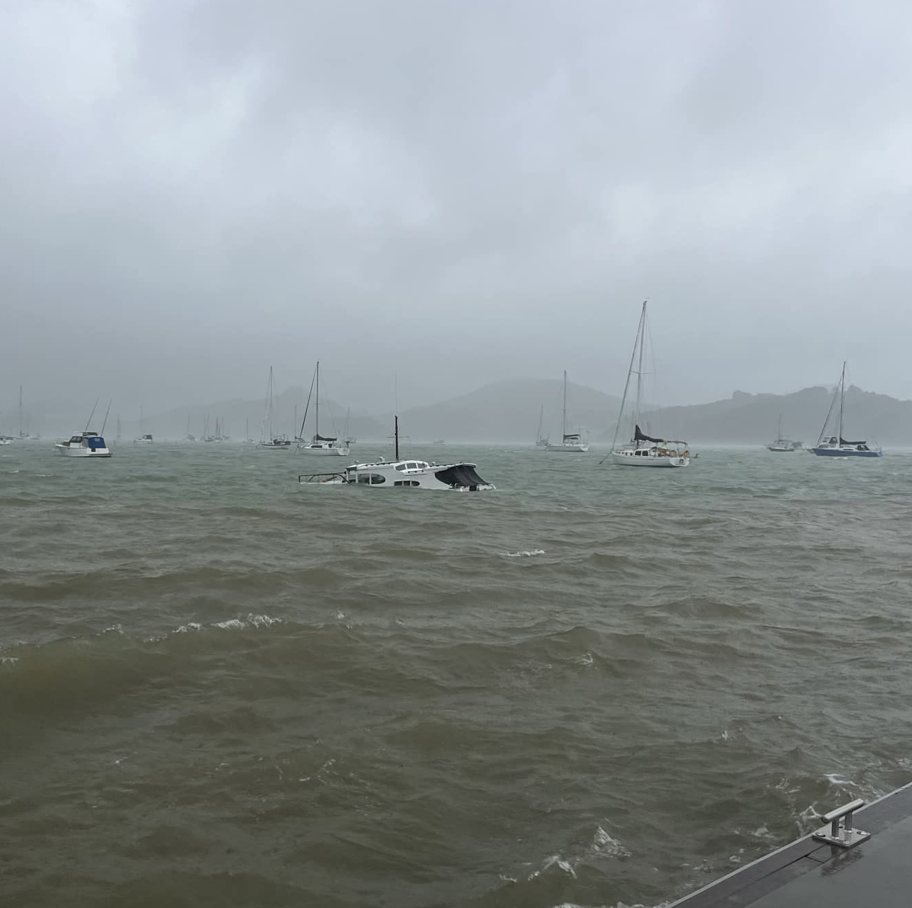
Wet and windy weather is expected to ease over Northland following a disruptive evening.
A heavy rain warning is in place until 2pm.
There have been multiple power outages reported by Top Energy and Northpower this morning.
However, MetService meteorologist Mmathapelo Makgabutlane said conditions were set to ease.
Isolated showers were expected over Northland but wouldn’t be heavy, she said.
Over the last 24 hours, 12 lightning strikes had been recorded over Northland, but across the wider offshore area 2513 struck mostly across the top of the North Island.
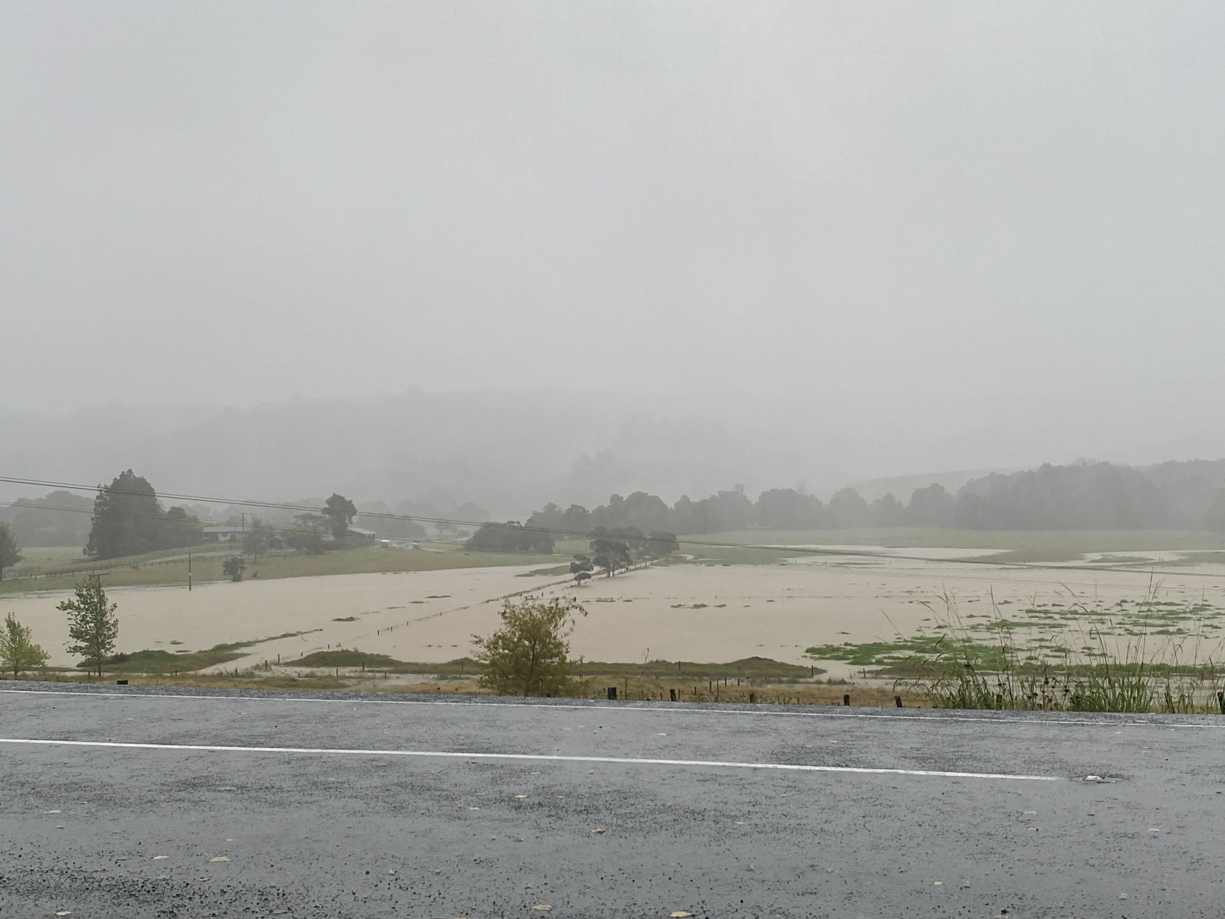
Meanwhile, the Kaeo River has been steadily rising this morning with some water reaching SH10.
High tide is expected at 1.45pm which could result in road closures.
Whangārei District Council reported closures at Russell Rd, Finlayson Brook Rd and Memorial Dr.
Meanwhile, there were partial closures on Bay View Rd, Old Parua Bay North Rd and Kaiikanui Rd.
Motorists have been advised to follow any directions from workers or signage.
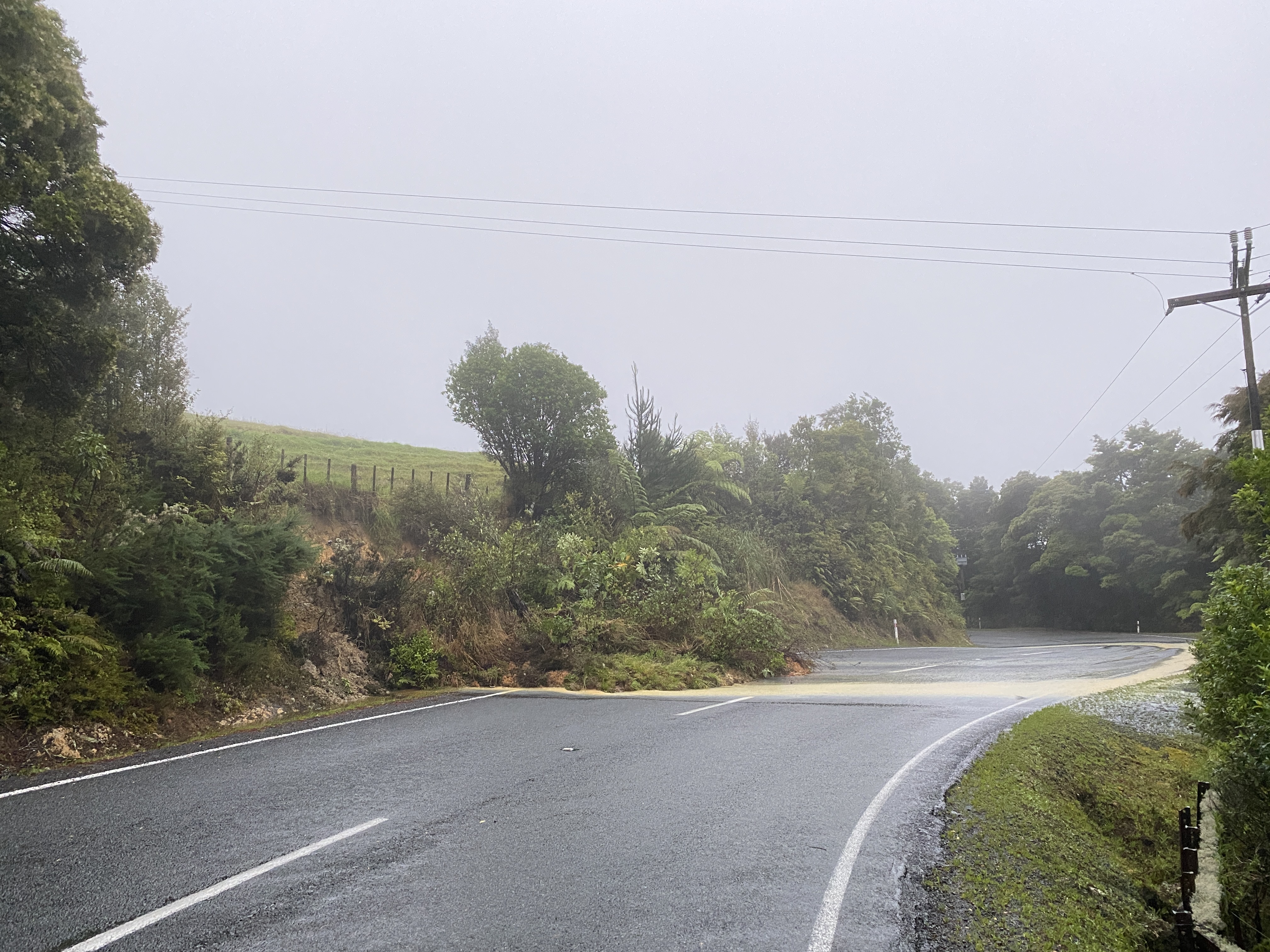
Motorists have been advised to take care of fallen debris and slips, which have been encountered throughout the region.
Metservice meteorologist Oscar Shiviti said the heavy rain warning is expected to last until 2pm today but a watch will remain until 5pm.
The highest rainfall recorded so far was in the Kaeo area in the Far North, with the Northland Regional Council rain gauge at Touwai recording 130mm over the last 24 hours.
Kerikeri received 84.2mm of rain in the past 24 hours, Kaikohe 83mm, and Whangārei 71.1mm.
“There were chances of thunderstorm activity, and there were areas that would receive thunderstorms especially areas in the east.”
The risk of thunderstorms remained moderate for most of the day for areas south of Kaikohe, he said.
It was expected a further 40 to 70mm of rain on top of what had already fallen could come.
“We do expect surface flooding because of the persistent rainfalls, rivers may rise suddenly and there might be slips.
Driving conditions may be difficult, so we urge people to be careful on the road in low-lying areas."
It was likely persistent rainfall would ease overnight but closer to midday tomorrow the rain was likely to increase.
However, it was unlikely to reach the levels experienced in the past 24 hours, Shiviti said.
With the weather expected to last throughout a large portion of the day, people have been asked to prepare for potential power loss.
Wild weather also triggered unplanned outages affecting Maungatapere, Te Kamo, Kokopu, Waiotira, Mangapai, Maungakaramea, Paparoa and Matakohe.
As of 12.40pm outages were recorded only at Waikiekie North Rd, Paparoa Rd and Walker Rd as well as a power line down on SH12.
An unplanned outage impacted around 857 customers in Russell as of 12.50pm as well.
Top Energy recorded outages at Ōmāpere, on Stanners Rd near Waipapa and Awarua which have since been fixed.
Brodie Stone covers crime and emergency for the Northern Advocate. She has spent most of her life in Whangārei and is passionate about delving into issues that matter to Northlanders and beyond.